Cyclone Vaianu Path: When and Where the Storm Will Hit NZ

Cyclone Vaianu Path: Tracking the Category 3 Storm Toward Auckland

A digital weather map showing a red 'X' over the North Island with a purple and red wind-speed gradient, professional news graphic style.

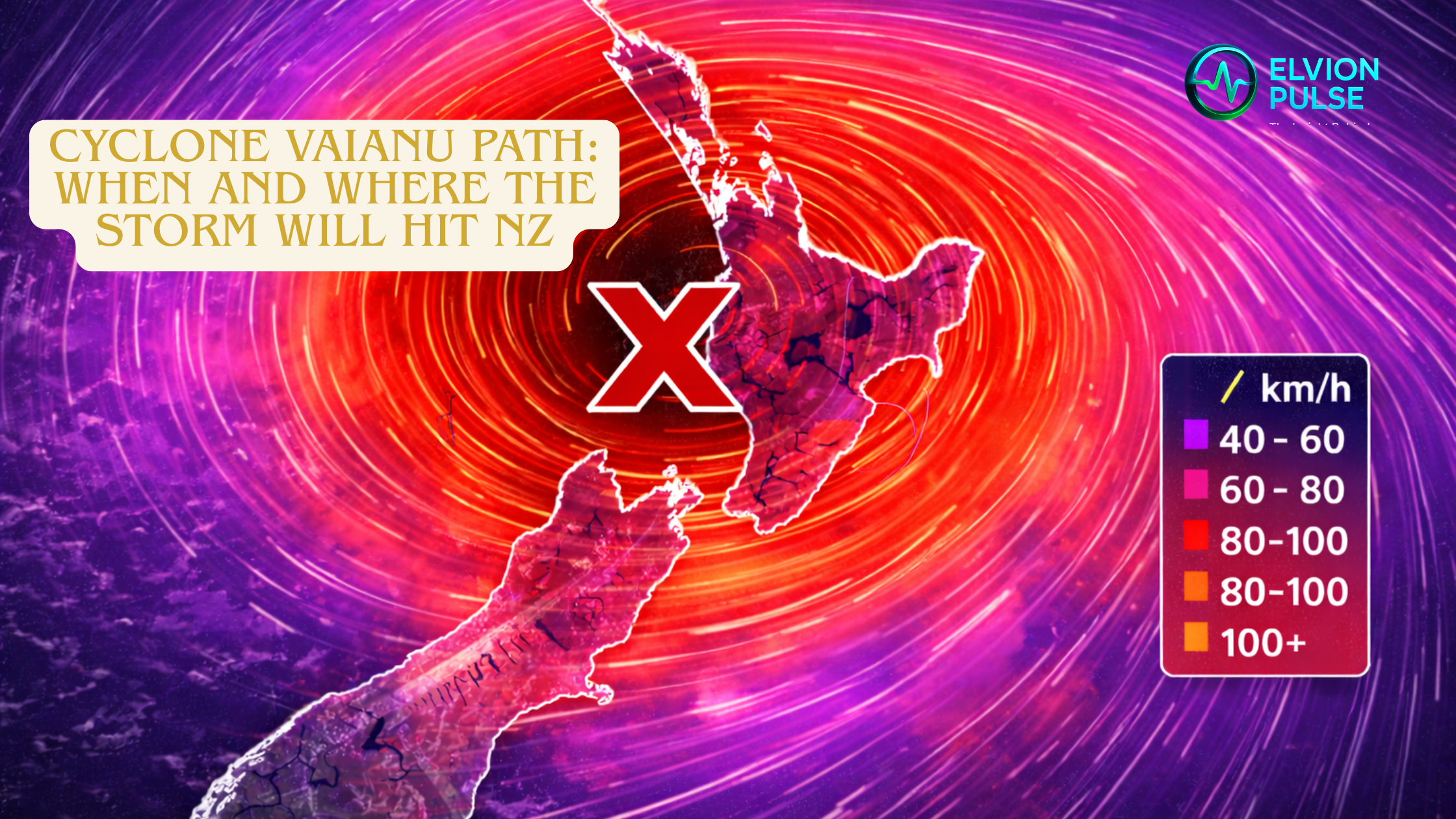
MetService has released the latest projected track for Severe Tropical Cyclone Vaianu, and the news is sobering for the upper North Island. The system is expected to cross into New Zealand waters tonight, bringing with it central winds exceeding 150km/h.

The Sunday Timeline:

  • 1:00 AM Sunday: Strong wind watches go into effect for the entire North Island.
  • Sunday Morning: Initial impact in Northland with heavy rain and 8-metre swells on the eastern coast.
  • Sunday Afternoon: Direct track over Auckland and Coromandel, with peak wind gusts expected between 1:00 PM and 11:00 PM.
  • Sunday Night: The system moves southeast toward East Cape, potentially affecting the Bay of Plenty and Tairāwhiti.

Forecasters warn that while the storm may be relatively short-lived, the “significant and damaging” impact of the wind and surge should not be underestimated.

Leave a Reply

Your email address will not be published. Required fields are marked *