Physical Address
304 North Cardinal St.
Dorchester Center, MA 02124
Physical Address
304 North Cardinal St.
Dorchester Center, MA 02124
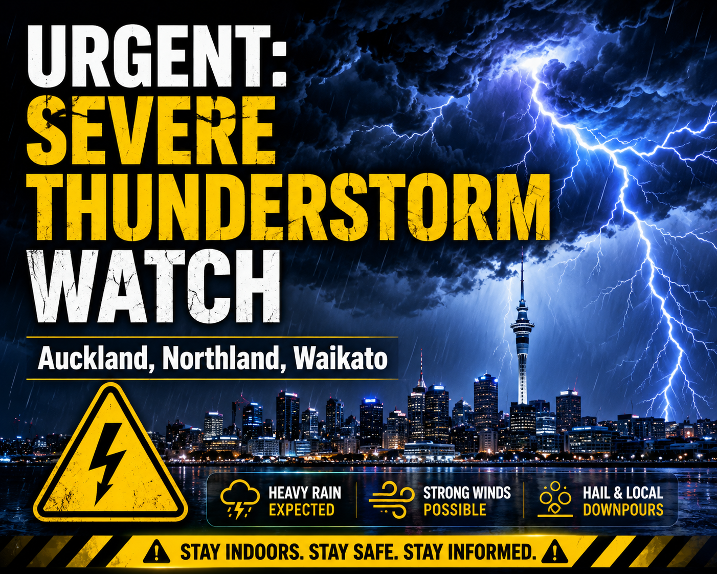
Auckland Emergency Management and MetService have issued an urgent severe thunderstorm watch for the upper North Island, perfectly timed to hit right during peak afternoon commute and rush hour.
Affected Areas: Northland, Auckland, Great Barrier Island, and Waikato.
The Risk: An aggressive Tasman front is bringing sudden torrential downpours, squally wind gusts, and localized flooding. Over 6,200 lightning strikes have already been logged across the country leading up to this front.
Impact Window: The main watch is active between 3:00 PM and 8:00 PM, meaning school pickups and the evening drive home will face the worst of the conditions.
Drivers are urged to clear nearby gutters, watch out for sudden surface flooding, and brace for difficult driving conditions on the highways. Stay safe out there! 🚗🌧️